

Rs 100 Crore Fine, Seven Years Behind Bars, for Depicting the Indian Map Incorrectly
New Delhi
If any News paper, magazine or on line website depict India in a Map that does not match the Govt’s official version of the map could be fine between Rs 10 Lakh to Rs 100 Crore and or sent to Seven Years behind the bars, a new draft Bill by the Centre states.

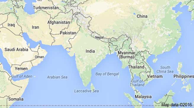
The draft Geospatial Information Regulation Bill, 2016, defines a defaulter as someone who “depicts, disseminates, publishes or distributes any wrong or false topographic information of India”. Importantly, this includes the plotting of India’s international borders.
The draft Bill also makes it mandatory to take permission from a government authority before acquiring, disseminating, publishing or distributing any geospatial information of India.
Recently, some social networking sites wrongly depicted the geographical location of Jammu as being in Pakistan and of Kashmir in China, which was corrected after protests from the Government of India.
The draft Bill comes at a time when maps used on several social networking sites and Google have been criticised by Indian groups for showing conflict-ridden areas such as Kashmir as part of another country. The new legislation will also make it compulsory for companies or individuals, such as Google, to obtain a licence from the government before producing a map for public use.
The government will set up a panel to vet maps made using geospatial methods, which includes images taken from satellites, aircraft, hot air balloons or any other kind of aerial or space technology. The panel will comprise a chairperson at the rank of a joint secretary and two members – a technical expert and a security adviser.