
Heavy Rainfall Likely Across Arunachal Pradesh over Next Five Days
The India Meteorological Department has forecast widespread rainfall, thunderstorms and isolated heavy showers across Arunachal Pradesh over the next week, prompting advisories for landslide-prone and vulnerable areas.
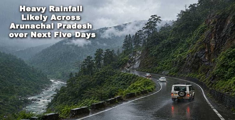
ITANAGAR: Arunachal Pradesh is likely to witness widespread rainfall, thunderstorms and isolated heavy showers over the next seven days as monsoon activity strengthens across the Northeast region, according to weather forecasts and advisories issued by the India Meteorological Department (IMD).
The forecast indicates that most districts of the state will experience light to moderate rainfall on a daily basis, with isolated spells of heavy rain expected particularly in Upper Subansiri, Dibang Valley, Anjaw, Shi-Yomi, Upper Siang, West Kameng and Tawang districts.

Weather officials have warned that persistent rainfall may trigger localized landslides, mudslides and road blockages in vulnerable hilly areas. Authorities have advised commuters and travellers to exercise caution, especially along National Highways and mountain roads connecting remote districts.
Also Read- Pema Khandu Credits Modi’s Leadership for Arunachal Pradesh’s Transformation Over 12 Years
The coming days are expected to remain largely cloudy, with temperatures ranging between 23°C and 30°C in most parts of the state. Thunderstorms accompanied by lightning may occur at isolated locations, particularly during afternoon and evening hours.
According to forecasts, rainfall activity is likely to increase from Thursday onwards, with intermittent showers continuing through the weekend and early next week. River and stream water levels may also rise in some areas due to sustained precipitation.
The IMD has urged residents living in landslide-prone and flood-sensitive areas to remain alert and follow advisories issued by local administrations. Farmers have been advised to monitor weather updates and take necessary precautions to protect crops and livestock.
Also Read- Houses Vandalised in Geku Amid Growing Opposition to Siang Upper Multipurpose Project
Meanwhile, emergency response agencies and district administrations are maintaining close watch on weather developments as the monsoon advances across the state.
Weather experts expect the wet spell to continue through the week, bringing much-needed rainfall but also increasing the risk of localized disruptions in vulnerable regions.
Weather Outlook (Next 7 Days)
• Frequent light to moderate rainfall across most districts
• Isolated heavy rainfall likely in higher reaches and border districts
• Thunderstorms and lightning possible at isolated locations
• Risk of localized landslides and road disruptions
• Day temperatures likely between 23°C and 30°C
Residents are advised to stay updated through official weather bulletins and district administration advisories.