Forecast outlook for the upcoming Southwest Monsoon (June-September, 2022)
Met experts say that conditions for the monsoon to arrive in Kerala would become favourable only if the winds gain stability and strength.

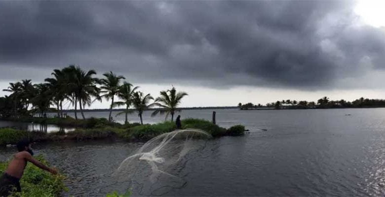
Forecast outlook for the upcoming Southwest Monsoon – With rain and sun playing hide and seek in Kerala quite literally, the southwest monsoon is likely to get delayed.
India Meteorological Department (IMD), a few days ago, had predicted that the southwest monsoon is likely to hit the Kerala coast by May 27. It could be advanced or delayed by four days.
Going by the present climatic conditions, the monsoon which has already reached Andamans is likely to move further in the southwest direction towards the Arabian Sea.
Forecast Highlights
- Climate model forecasts suggest a near-normal to slightly above-normal monsoon season this year across
- Above normal rainfall is forecast across the north-western parts of India, while parts of northeastern and southern India may witness marginally less rain than
- The moderate La Niña event has been steadily weakening since last December, but a La Niña-like tropical circulation base state could linger with no signs of an El Niño this
- The generally-neutral IOD can be seen to strengthen toward negative mode from this month
- Marginally below-normal rainfall can be expected during this monsoon season, with the total rainfall amounting to 99% compared to the
- The rainiest months of the monsoon season, relative to normal, are expected to be July and
Detailed monsoon onset outlook for 2022
Determining the onset of monsoon has always been a tough task. If we compare the data for the last 50 years, the date of onset in Kerala has ranged from May 19 (in 1990) to June 18 (in 1972). This variance is in large attributed to the state of the ENSO — El Niño–Southern Oscillation — in the preceding winter. Years of monsoon early-onset typically occurred after La Niña winters (for example, in 2018), whereas late-onset years were after winters that experienced El Niño patterns (such as in 2016 and 2019).
The onset time is tricky as it can be modulated by sub-seasonal variations in the seasonal base state. Specifically, the Madden-Julian Oscillation (MJO) — a tropical wave that travels around the equator every 30-40 days — modulates precipitation patterns in India as well. The current MJO signal (active phase) lies over Indian Ocean and will likely trigger the onset of monsoon over Kerala by May 27.
However, the MJO may enter an inactive phase by the end of May. This suppression, then, will likely favour a slow progress of monsoon, even though the background state weakly favours an earlier start. Therefore, amidst the prevailing weak La Niña conditions, there is a chance that that the onset and subsequent progress of monsoon over Kerala and Karnataka can be delayed to the first week of June.
Relationship between monsoon date-of-onset and total rainfall accumulation: There is research that indicates a positive relationship between the earlier dates of onset and higher rainfall accumulation. However, notable exceptions to this include 2018 — which experienced an early monsoon onset with lower-than-average rainfall — and 2019 — which experienced a late monsoon onset with higher-than-average rainfall.
Detailed monsoon rainfall outlook for 2022

Another thing to keep in mind is that the climate model predictions from the North American Multi-Model Ensemble (NMME) and EUROSIP predict weakening negative ENSO anomalies during the summer (May to June), but never transitioning to an El Niño condition.
In addition to ENSO, the Indian Ocean Dipole also helps discern rainfall intensity to a certain extent. The Indian Ocean Dipole (IOD), also known as the Indian Niño, is an irregular oscillation of sea surface temperatures in which the western Indian Ocean becomes alternately warmer (positive phase) and then colder (negative phase) than the eastern part of the ocean. A positive phase usually indicates enhanced rainfall during the monsoon season.
“As we look at current climate model forecasts, we can see that the warmest waters are farther east, implying a negative IOD and perhaps reduced monsoon rainfall. In addition, the IOD phase can be seen to strengthen towards negative mode from this month onwards. This should help to restrict the magnitude of the wet conditions,” explains Takahisa Nishikawa, Senior Meteorologist, The Weather Company, an IBM Business.

The rainiest months of the monsoon season, relative to normal, are expected to be July and September. In June, low-level easterly winds are likely to cover over southern region, keeping the southwest winds suppressed, leading to below average rainfall over southern India for the first month of the monsoon season.
In summary, the met team at The Weather Company, an IBM Business, predicts a near-normal monsoon season. Our forecasts predict a seasonal monsoon rainfall of 99% compared to the long-period average (LPA).
Inputs and pics provided by The Weather Channel India


