Arunachal: We need to create assets that would be useful for the future generations- Chowna Mein
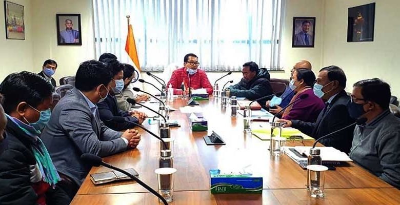
ITANAGAR- Deputy Chief Minister, Chowna Mein said that we need to create assets that would be useful for the future generations. He said this while chairing a meeting on the establishment of a state of the art Centre of Excellence for Science & Technology in Itanagar.
He said that in this age of advance technology and innovation, we need to have a Centre of Excellence where people from different disciplines can come together and share facilities/resources. Centre of Excellence for Science & Technology, if establish will facilitate the govt departments, community, academicians and the students to share knowledge and skill through education, outreach program and training, he said.

Minister of Science & technology, Honchun Ngandam while seeking for the fund provision from the State Govt said that there is application of science & technology in all the govt departments and if establish, it would cater to the needs of all the Govt departments. He informed that a plot of land allotted to the Department of Science & Technology is lying vacant in the hub of the Capital city and said that it needs to be utilized. If not utilize, there is fear of being encroached in the near future, he added.
Director Science & Technology, C D Mungyak while presenting the proposal through a power point presentation inform that the Science & technology will have the facilities to integrate state-of-the-art remote sensing (RS), geographic information system (GIS), and global positioning (GPS) technologies with on-the-ground knowledge of ecosystems and natural resource management to address relevant issues.
It would facilitate to provide core geospatial dataset (administrative boundaries, road, railway, and major settlement etc.) to all the departments in the state. It would also help to generate geospatial datasets and create user friendly applications (through web-enabled distribution tools) for government departments to serve as an effective tool for decision making, planning, implementation and monitoring purposes, he added.
Among others, Chairman Science & technology, Bamang Mangha, Principal Secretary(Finance), A C Verma, Commissioner (Planning & Investment), Prashant Lokhande, Secretary (Finance), Smt Y W Ringu, Director (Planning), Pallab Dey and Development Officer (HUDCO, Itanagar), D Sonowal also attended the meeting.