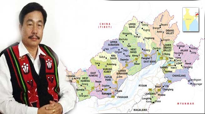
Tapir Gao urges Centre to redraw Arunachal Atlas showing proper demarcation of state boundary
Gao in Lok Sabha said that the Survey of India which prepared the Atlas during British rule has kept out several areas of the state.
New Delhi

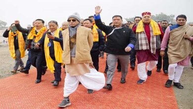
Lok Sabha MP from Arunachal Pradesh East Constituency Tapir Gao asks Centre to redraw the Atlas of India and do a proper demarcation of boundary of the state
Gao in Lok Sabha said that the Survey of India which prepared the Atlas during British rule has kept out several areas of the state.
Gao alleged, “In Angie Valley, which is located in remote eastern part of Anini district of Arunachal Pradesh, is drawn more than 100 kms inside Chinese territory”.

Gao further said that “in Anjaw district some areas like Kajap and Kayo valley which are under Indian territory but are kept outside the map by the Survey of India”. The entire Border out posts in these areas is guarded by the Indian Army and Indo-Tibetan Border Police jawans.
He added that as the Pakistan Occupied Kashmir was brought under the Indian Political map under the leadership of Prime Minister Narendra Modi, “I appeal the government to India to ensure that the atlas is redrawn showing the entire territory of Arunachal Pradesh in the country’s political map”.